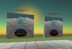
While browsing around though, I did find a really cool looking freeware (Mac) tool, Backhoe. It allows for easy editing of the 13-channel .RAW topography description of private islands. It looks very cool, so maybe I'll play around with it, for use in the future ;)
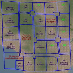
If the private island project ever did have enough interest, it'd be fun to easily custom-create the terrain, so that everybody involved could have exactly the sort of terrain they'd like. Fun! Doesn't it look cool?

(from Zarf Vantongerloo's Backhoe webpage)